What is a Canada Lands Surveyor (CLS)?
Surveyors apply mathematics, property law and use of the latest measurement technology to real-life situations. These professionals are enablers of industries that pump billions into the Canadian economy annually. Because of their expertise, surveyors are required whenever there is a need to create parcels of land and establish property boundaries.
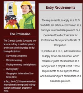
The Association of Canada Lands Surveyors (ACLS) is the national licensing body for professionals surveying in the three Canadian territories, in the Federal parks, on Aboriginal reserves, on and under the surface of Canada’s oceans. The exclusive title attributed to these professionals is that of Canada Lands Surveyor (CLS).
The Canada Lands Surveyor is an expert in spatial positioning and property rights systems and can provide the following services:
- Advice and consultation on surveying and boundary matters
- Property surveys, land descriptions and construction surveys
- General advice and consultation on all land administration and land management matters.
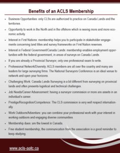
Our members specialize in one or more disciplines but have some knowledge of all so is the professional of choice to find the best solution to any technical or management problem related to measurement and spatial positioning.
Our licensed members are the only individuals legally authorized to perform cadastral surveys on a special category of lands called “Canada Lands”. Cadastral surveying is the branch of surveying that encompasses all activities related establishing and defining the extent of a legal interest in land. These activities are also referred to as boundary or legal surveying.


